GeoLayers and this alternative side by side
| GeoLayers | This tool | |
|---|---|---|
| Runs in | Adobe After Effects (plugin) | Your web browser |
| Cost | Plugin licence (about $330 at aescripts, November 2026) plus an After Effects subscription | Free with a watermark; paid plan coming |
| Learning curve | After Effects skills needed | Fill in a form, press Play |
| Map detail | Many map styles, terrain and satellite imagery | Vector styles (light, dark, vintage); no satellite yet |
| Typical shots | Anything you can build in After Effects | Country spotlight, routes, campaign arrows |
| Timing to narration | Keyframes in the After Effects timeline | Tap Space along your voice-over |
| Rendering | After Effects render queue | In the browser, usually under a minute |
When GeoLayers is the better choice
- You already work in After Effects every day and want the map inside the same composition as the rest of your motion graphics.
- You need satellite imagery, terrain, 3D buildings or your own geographic data.
- Every map in your video is a one-off, designed shot rather than a repeated format.
- A client expects a project file they can open and change.
In these cases the plugin licence pays for itself, and nothing in a browser tool will match that level of control.
When a browser GeoLayers alternative is enough
- You need the same kinds of shot again and again: where a country is, which countries border it, how someone travelled, where an army went.
- You edit in Premiere Pro, DaVinci Resolve, Final Cut or CapCut and do not want to learn After Effects for a five-second map.
- You publish weekly and the map has to be done in minutes, timed to a voice-over you recorded today.
- You want the same look in every episode without rebuilding a template each time.
How the workflow compares
A typical GeoLayers shot means creating a composition, adding a map layer, choosing and styling the map, adding masks or shapes for countries and routes, and setting keyframes so each part appears on time, then rendering. Changing one timing means finding and moving the keyframes involved.
Here the same shot is a form: pick the country or the stops, choose a style, tap Space along your voice-over, export. Moving one cut leaves the others where they are. The trade-off is range: you get three kinds of shot done well, not a blank canvas.
Using this GeoLayers alternative with After Effects
The two do not exclude each other. Export an MP4 here and place it in your After Effects or Premiere timeline like any other clip, then add your own titles, effects or sound on top. A transparent background export for layering the map over footage is part of the planned Creator plan.
What this alternative does not do
- No satellite imagery, terrain or 3D buildings.
- No import of your own GeoJSON, KML or shapefiles.
- No states, provinces or city-level street maps; the map works at the scale of countries and regions.
- No project file to hand over; the output is a video.
If your work depends on any of these, GeoLayers is the right tool. If not, try the editor above with your next script.
Map data in this GeoLayers alternative
Countries, coastlines, rivers, lakes and about 7,300 cities come from Natural Earth, a public-domain dataset maintained by cartographers and used by many newsrooms. There are no map tiles to license and no attribution line to add to your video. The trade-off against GeoLayers is detail: Natural Earth is drawn for country and regional scale, not for streets or terrain.
Common GeoLayers shots, made here
- Country highlight with neighbours. In GeoLayers this is a styled map, a mask per country and keyframes for each reveal. Here: type the country, keep or reorder the neighbours, tap along your narration.
- Animated route. There, a path, a trim-paths animation and markers per stop. Here: add the stops, pick plane, train, car, boat or walk per leg, and label each stop.
- Campaign arrows. There, shape layers with tapering strokes and keyframed captions. Here: add the places, set the start and end width, tick battle markers and write the date captions.
Who looks for a GeoLayers alternative
Most people searching for a GeoLayers alternative are not motion designers. They are YouTubers, teachers and small teams who edit in Premiere Pro, DaVinci Resolve or CapCut and need a map shot for this week's video. Learning After Effects and buying a plugin for a few seconds of map per video is a large step. A browser tool that covers the shots they need, in their channel's style, removes that step.
Motion designers sometimes use it too, for quick drafts: time the map to a voice-over here, then rebuild the final shot in GeoLayers when a client approves the timing.
Try this GeoLayers alternative for free
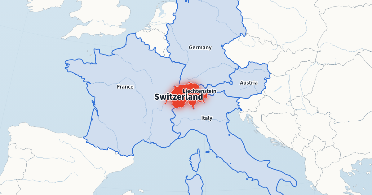
The editor at the top of this page is the full tool, already loaded with a country spotlight of Switzerland. Change the country, switch the style, export an MP4 at 720p or 1080p. Switch to another tool at the top of the editor to try a route or campaign arrows. Your edits are kept in this browser, so you can close the tab and pick up where you left off. It is free with a small watermark, needs no account and runs in a recent Chrome or Edge on Mac, Windows or Linux.
GeoLayers alternative FAQ
Can I use the exports in client work?
Yes. You own the videos you make, and the map data is public domain, so there is no attribution requirement.
Is this affiliated with GeoLayers?
No. GeoLayers is a product of its own developers, sold on aescripts + aeplugins. We mention it only to compare.
Can I import my After Effects project?
No. The two tools do not share project files; export an MP4 here and place it in your After Effects or Premiere timeline.
Is the price above current?
It was checked in November 2026. Check the aescripts page for the current price.
Is this GeoLayers alternative really free?
Yes. All three generators and 720p or 1080p MP4 export are free, with a small watermark. A paid plan without the watermark is planned.
Does it run on a Mac?
Yes. It runs in a recent Chrome or Edge on Mac, Windows or Linux; nothing is installed.
Which map data does it use?
Natural Earth, a public-domain dataset, for countries, coastlines, rivers, lakes and cities.
Do I need a powerful computer?
No. Any recent laptop that runs Chrome or Edge can export 1080p video; a faster computer simply exports sooner.